Click a thumbnail below to see it full-size
2021 A North-South addition to The Great North Cycle Trail
Only two things are needed:
1) Give some existing closed tarmac roads the right of way for cycling.
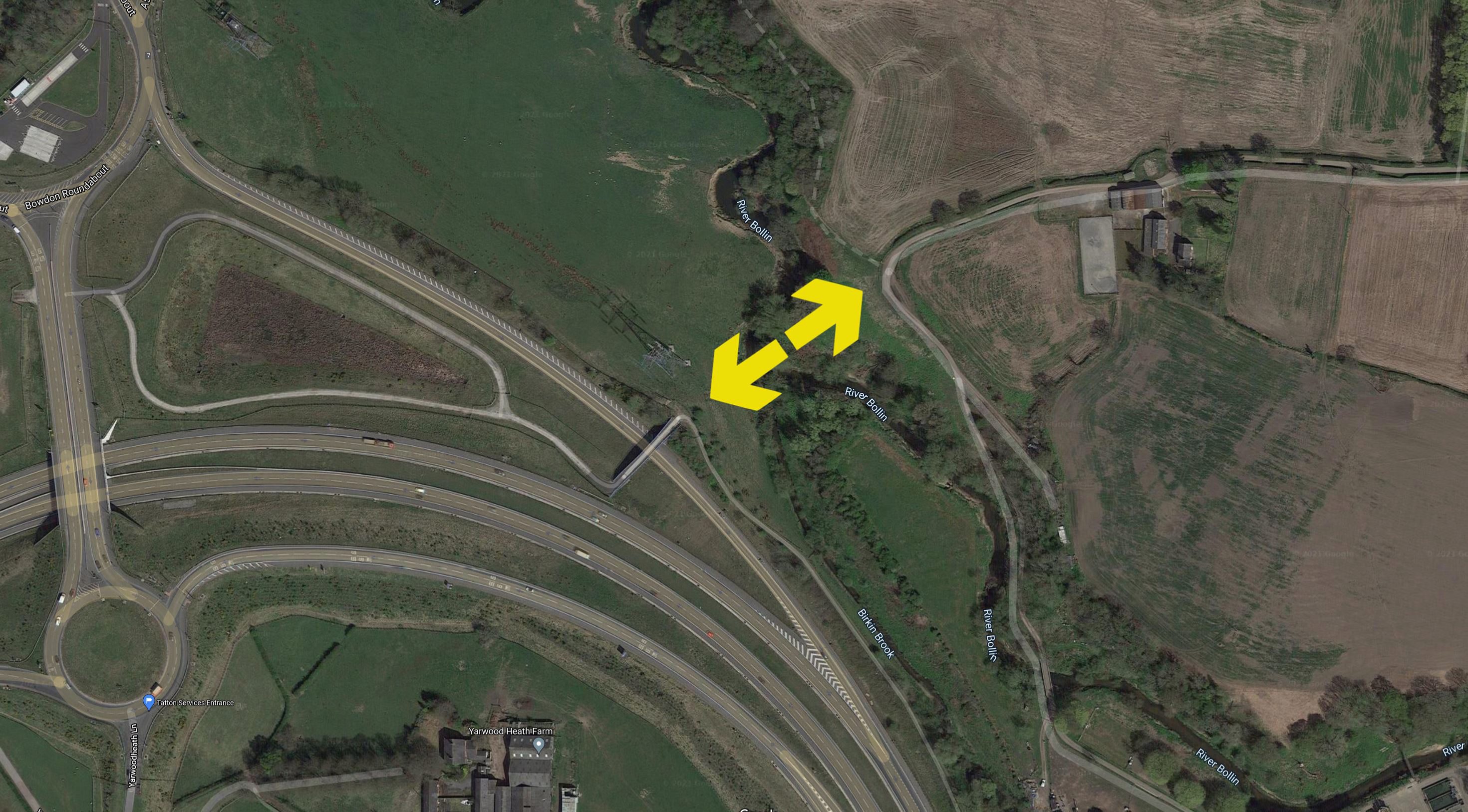
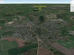
2) Build a new light bridge over the Bollin at approximately 53.367°N 2.382°E
This page is at
www.jack.ski/bollin
Bollin Crossings in 2021
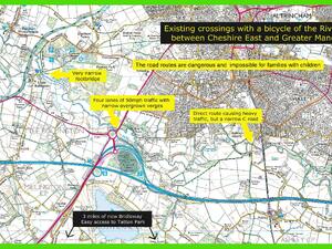
Click to see full-size (and start a slideshow)
Proposed Non-motorised N-S Route
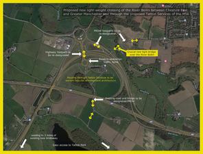
Click to see full-size (and start a slideshow)
Proposed bridge site
Click here to explore in Google
(Opens in a separate window/tab)
(Opens in a separate window/tab)
From Bowdon, Altrincham & Hale, the proposed route will connect to things like:-
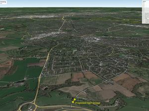
Click to see full-size (and start a slideshow)
Tatton Park, 2 miles to the south
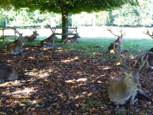 Sunday 19/09/2021 10:56
Click to see full-size (and start a slideshow)
2019 The new Chester Road (ex-A556) cycle facility
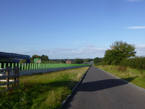 Tuesday 17/09/2019 16:44
Click to see full-size (and start a slideshow)
Knutsford, where cyclists could get to Bowdon, Altrincham and Hale, with things like:-
Click to see full-size (and start a slideshow)
Bowdon Park a few hundred yards to the north.
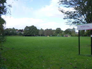 Friday 01/10/2021 16:19
Click to see full-size (and start a slideshow)
Entering the southern end of the route at Tom Lane
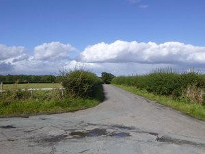 Friday 01/10/2021 15:10
Click to see full-size (and start a slideshow)
Yarwoodheath Lane crossing the M56, looking north
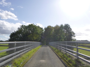 Friday 01/10/2021 15:15
Click to see full-size (and start a slideshow)
Yarwoodheath Lane and the site for Tatton Services, looking north
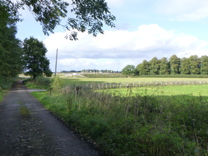 Friday 01/10/2021 15:16
Click to see full-size (and start a slideshow)
Exit of Yarwoodheath Lane on to the Bowdon roundabouts
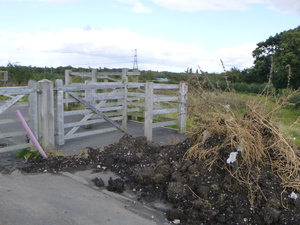 Friday 01/10/2021 15:17
Click to see full-size (and start a slideshow)
Already a cycle crossing, but there is now no good way to get here on a bike
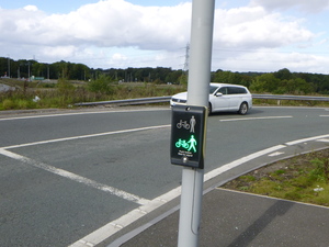 Friday 01/10/2021 15:19
Click to see full-size (and start a slideshow)
Crossing the M56 flyover between the Bowdon roundabouts, looking south
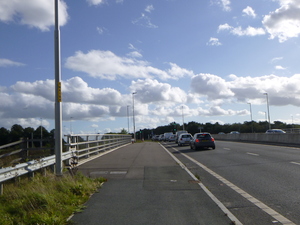 Friday 01/10/2021 15:24
Click to see full-size (and start a slideshow)
East from the M56 flyover, currently designated a public footpath
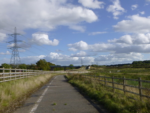 Friday 01/10/2021 15:26
Click to see full-size (and start a slideshow)
Crossing the M56 spur looking north, officially just a public footpath
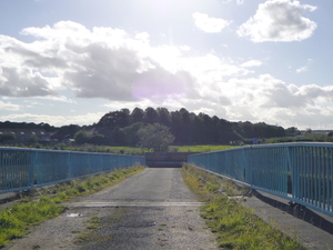 Friday 01/10/2021 15:28
Click to see full-size (and start a slideshow)
Crossing the M56 spur looking south, officially just a public footpath
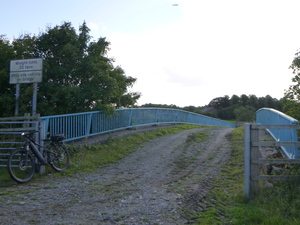 Friday 01/10/2021 15:32
Click to see full-size (and start a slideshow)
View to the west from the M56 spur crossing
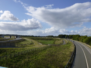 Friday 01/10/2021 15:33
Click to see full-size (and start a slideshow)
Site of the proposed crossing of the River Bollin: the only new thing needed
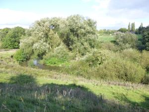 Friday 01/10/2021 15:30
Click to see full-size (and start a slideshow)
Existing bridge over the M56 spur
seen on Google Street View
seen on Google Street View
Click here to explore in Google
(Opens in a separate window/tab)
(Opens in a separate window/tab)
North bank of the Bollin near the proposed new bridge
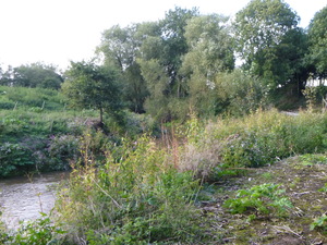 Friday 01/10/2021 16:07
Click to see full-size (and start a slideshow)
Entering the route at the north end, looking west from Bow Lane
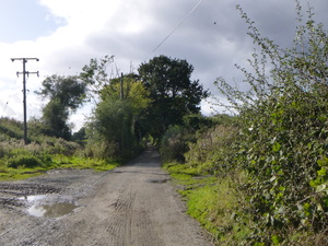 Friday 01/10/2021 15:47
Click to see full-size (and start a slideshow)
Bow Lane at the northern end of the proposed route
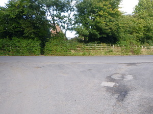 Friday 01/10/2021 16:14
Click to see full-size (and start a slideshow)
The proposal will avoid crossing two exits and an entrance of the northern Bowdon roundabout
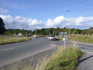 Friday 01/10/2021 15:37
Click to see full-size (and start a slideshow)
Travelling north you have to cross the second of the exits
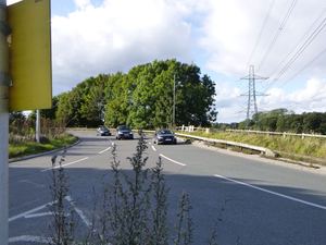 Friday 01/10/2021 15:39
Click to see full-size (and start a slideshow)
You won't have to ride in 4 lanes of the A56
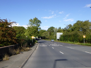 Friday 01/10/2021 15:39
Click to see full-size (and start a slideshow)
Riding north you have to cross 4 lanes of the A56 again
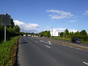 Friday 01/10/2021 15:41
Click to see full-size (and start a slideshow)
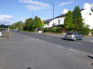 Friday 01/10/2021 15:42
Click to see full-size (and start a slideshow)
Missing links shown on Open Source Mapping, cycling. Not much to ask for, is it?
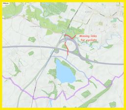
Click to see full-size (and start a slideshow)
TattonServices.com scheme design

Click to open the link
in a separate window/tab
in a separate window/tab
